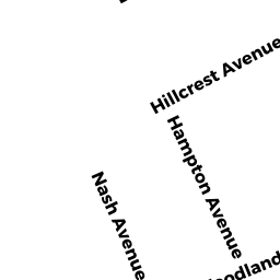
11 HAMPTON AV
Owner Information
MCKINNON ROBERT J
11 HAMPTON AV
BROCKTON, MA 02301


Property Details
11 HAMPTON AV is classified as a Single Family Residential (6:ranch).
The primary structure on this property was built in 1959. There is 994ft2 of residential/living space within this property. This property is listed as having 6 rooms.
11 HAMPTON AV is valued at $268,300. The land is valued at $92,900 and the structures are valued at $175,400. There is an additional valuation of $5,330 on this property.
This property is in Zone R1C. Confirm with local Zoning Board authorities to ensure there are no overlays or other easements on this property.
The most recent deed for 11 HAMPTON AV is recorded at the local registrar in Book 21899, Page 150. 11 HAMPTON AV was last sold on Friday, April 12, 2002 for $214,000.
Assessment data from fiscal year 2021.
Flood Data
According to the FEMA National Flood Hazard Layer, this property does not appear to be in a flood zone. It may also be in an area not yet reviewed. Nonetheless, confirm this information prior to taking any action.
To view the flood hazards around this property, create a FEMA "Firmette" Map of the area around 11 HAMPTON AV.
Broadband Internet Providers
| Provider | Type | Bandwidth (mbps) | |
|---|---|---|---|
| VSAT Systems, LLC. | Satellite | 2 | 1 |
| HughesNet | Satellite | 25 | 3 |
| GCI Communication Corp. | Satellite | 0 | 0 |
| T-Mobile | Fixed Wireless | 25 | 3 |
| Comcast | Cable | 1000 | 35 |
| Verizon New England Inc. | DSL | 5 | 0 |
| Viasat Inc | Satellite | 100 | 3 |
Broadband service provider data from December 2020.
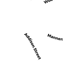
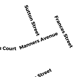
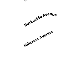
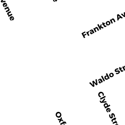
Adjacent Properties
- 17 HAMPTON AV
Single Family Residential owned by DIGIULIO THOMAS R - 3 HAMPTON AV
Single Family Residential owned by OKEEFE CORNELIUS N - 49 WOODLAND AV
Single Family Residential owned by BLACKMAN KERI M - 47 WOODLAND AV
Single Family Residential owned by VALLE NOEL - 1088 N MAIN ST #6
Residential Condominium owned by TORRES MARIA C - 1090 N MAIN ST #5
Residential Condominium owned by BROWN DEBORAH - 1094 N MAIN ST #3
Residential Condominium owned by SANON SENES - 1096 N MAIN ST #2
Residential Condominium owned by JASPER STANTON M IV - 1098 N MAIN ST #1
Residential Condominium owned by MURRELL ERICA M - 1092 N MAIN ST #4
Residential Condominium owned by TILLMAN TANYA